Kaarten - Schotland
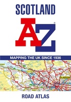 Wegenatlas Scotland - Schotland | A-Z Map Company
Handzame gedetailleerde wegenatlas van Schotland. Navigate your way around Scotland with this detailed, full-colour and easy-to-use A-Z Road Atlas. From the border to the north coast, the mainland pages scale …
★★★★★ Wandelkaart The Great Trossachs Path | Harvey Maps
Een bijzonder handige kaart van dit lange-afstands-wandelpad. Op waterafstotend papier met veel details. Het enige dat je eigenlijk een beetje mist is een overzicht. Verder uitstekend en voldoende voor de …
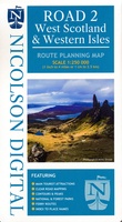 Wegenkaart - landkaart West Scotland - Western ISles - Schotland | Nicolson
Based on the Ordnance Survey 1/250000 Road mapping. Road Map 2 covers West Scotland & the Western Isles. Please scroll through the images to see the area of coverage …
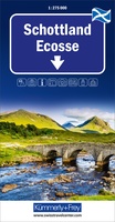 Wegenkaart - landkaart Schottland | Kümmerly & Frey
 Wandelkaart An Teallach | Harvey Maps
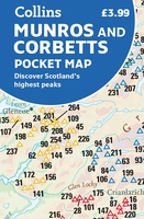 Wegenkaart - landkaart Pocket Map Munros and Corbetts | Collins
 Wandelkaart Ben Lawers & Schiehallion | Harvey Maps
Harvey Maps for hillwalkers showing the hills from Loch Tay to Glen Lyon. This detailed walking map includes Ben Lawers and the Tarmachan Ridge. The Superwalker XT25 is based on …
 Wandelkaart Arrochar Alps | Harvey Maps
Includes Beinn Ime, Ben Vorlich and the Cobbler (Ben Arthur). Detailed map for hillwalkers of the western part of the Loch Lomond and Trossachs National Park at the popular scale …
 Wandelkaart Arrochar Alps | Harvey Maps
Covers a large area yet is handily compact. Pocket perfect! Includes Beinn Ime, Ben Vorlich and the Cobbler (Ben Arthur). Detailed map for hillwalkers of the western part …
 Wandelkaart Ben Lawers & Schiehallion | Harvey Maps
40 years’ experience have gone into HARVEY’s most creative new series. Slim and light, the Ultramap covers a large area and yet is handily compact. Pocket perfect! Includes Ben …
 Wandelkaart Cairn Gorm & Ben Avon | Harvey Maps
40 years’ experience have gone into HARVEY’s most creative new series. Slim and light, the Ultramap covers a large area and yet is handily compact. Pocket perfect! Includes Cairn …
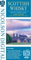 Wegenkaart - landkaart Scottish Whisky Distilleries Map | Schotse whiskystokerijen | Nicolson
Our brand new and up to date whisky map shows over 150 distilleries on our exceptionally clear road mapping, allowing you to navigate to your chosen destination. Enlarged inset map …
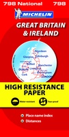 Wegenkaart - landkaart 798 Great Britain & Ireland | Michelin
Scheur- en watervast! Zoals je van Michelin mag verwachten is deze kaart zeer overzichtelijk en heeft een duidelijk helder kaartbeeld. De kaart geeft uitgebreid toeristische informatie weer. Met register, …
 Wandelkaart Ben Nevis | Harvey Maps
HARVEY launch innovative new series: Ultramap XT40. 16 titles featuring in Trail magazine through spring 2016. 40 years experience have gone into HARVEY's most creative new series. The Ultramap covers …
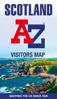 Wegenkaart - landkaart Visitors map Scotland - Schotland | A-Z Map Company
xplore the whole of Scotland from Dumfries and Galloway in the South to the Orkney Islands in the North. With detailed road mapping and illustrated town plans of major cities, …
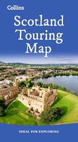 Wegenkaart - landkaart Touring Map of Scotland - Schotland | Collins
Best-selling map of Scotland. More than 1,000 places of tourist interest plotted and named on the map. The features have been plotted onto an up-to-date and attractive Collins map of …
★★★★★★★★★★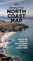 Wegenkaart - landkaart North Coast Road Trip Map | Destination Earth
This North Coast road trip map is the essential tool that will guide you through the breathtaking landscapes, stunning coastal views, and enchanting villages of the North Coast 500 in …
 Wandelkaart Affric Kintail Way | Harvey Maps
Mooie, duidelijke kaart van de Affric Kintail way in Schotland. Geplastificeerd met veel extra informatie en uitsnedes van de route. De hele rote op 1 kaart, erg handig! The Affric …
★★★★★ Wandelkaart Fife Coastal Path | Harvey Maps
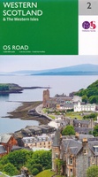 Wegenkaart - landkaart 2 OS Road Map Western Scotland & the Western Isles | Ordnance Survey
Een serie uitstekende wegenkaarten van Ordnance survey, de topografische dienst van Engeland. Alle 8 delen kennen een schaal van 1:250.000. Het kleurgebruik is uitbundig maar niet storend; integendeel, de hoogtes …
★★★★★
Laatste reviews

Heb de gids cadeau gedaan en die persoon was er heel blij mee ..
★★★★★ door J 21 november 2024 | Heeft dit artikel gekocht
De kaart van Kirgystan is prachtig, zeer gedetailleerd. Kan niet wachten tot de we echt op reis hmgaan die kant op.
★★★★★ door Marijke Eering 21 november 2024 | Heeft dit artikel gekocht
Super handig fiets boekje en mooi water bestendig. En handig om op de kaarten te kijken heel duidelijk beschrijving. Wij fietsen al jaren in Duitsland …
★★★★★ door Jenneke holterman 19 november 2024 | Heeft dit artikel gekocht
prima kaart levering en betaling allemaal vlot verlopen
★★★★★ door Marc Buts 19 november 2024 | Heeft dit artikel gekocht

