■ York
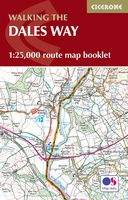 Wandelatlas The Dales Way Map Booklet | Cicerone
Heel handig bedacht van uitgever Cicerone: een boekje dat dienst doet als atlas met alle topografische kaarten die je nodig hebt voor het lopen van de Dales Way. Past goed …
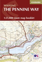 Wandelatlas Pennine Way Map Booklet | Cicerone
Heel handig bedacht van uitgever Cicerone: een boekje dat dienst doet als atlas met alle topografische kaarten die je nodig hebt voor het lopen van de Pennine Way. Past goed …
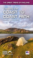 Wandelgids Trekking the Coast to Coast Path | Knife Edge Outdoor
The definitive two-way guide to the Coast to Coast Path: both eastbound and westbound routes are described in full. Real Maps: Full Ordnance Survey mapping inside (1:25,000). All accommodation is …
★★★★★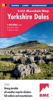 Wandelkaart Yorkshire Dales | Harvey Maps
A huge area on one map. Yorkshire Dales - the latest addition to the British Mountain Map series - is the sixth title in this highly successful & innovative range. …
 Reisverhaal Dwars door Engeland | Martijn van Rijsbergen
We willen een reis maken. Mijn Vriendin en ik. Op avontuur. We kunnen de hele wereld kiezen, het wordt Groot-Brittannië. Een verslag van een reis over één van de oudste, …
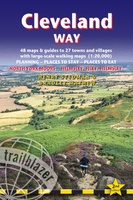 Wandelgids Cleveland Way | Trailblazer Guides
All the information you need to enjoy your hiking adventure along the Cleveland Way in this fully revised and updated 2nd edition. In the beautiful, wild countryside of the North …
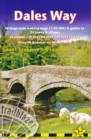 Wandelgids Dales Way | Trailblazer Guides
The popular Dales Way long-distance footpath begins in Ilkley, West Yorkshire and runs for 84 miles (135km) to end in the Lake District, in Bowness-on-Windermere. It follows riverside paths along …
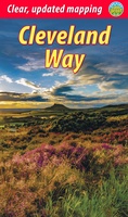 Wandelgids Cleveland Way | Rucksack Readers
“A testament to excellent research, writing and photography” - Malcolm Hodgson, Trail Manager The Cleveland Way is one of England’s oldest and best-loved National Trails. It runs for 108 …
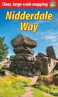 Wandelgids Nidderdale Way | Rucksack Readers
The Yorkshire Dales are famously beautiful valleys in northern England, but Nidderdale is perhaps the least known of them. Unique among the dales, this scenic valley has three large reservoirs …
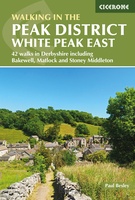 Wandelgids Walking in the Peak District - White Peak East | Cicerone
Uitstekende wandelgids van het Peak District van de gerenommeerde uitgever Cicerone. This guidebook provides 35 day walks and 7 longer walks and trails exploring the eastern section of Derbyshire's …
★★★★★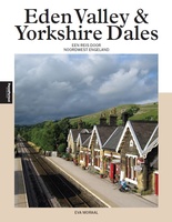 Reisgids PassePartout Eden Valley en Yorkshire Dales | Edicola
Dertig jaar geleden was de noordwestelijke Settle-Carlisle Railway nog ten dode opgeschreven. Tegenwoordig vervoert Engelands mooiste spoorlijn ieder jaar duizenden mensen door twee streken: de nog onontdekte Eden Valley met …
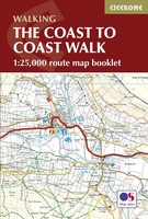 Wandelkaart The Coast to Coast Map Booklet | Cicerone
All the mapping you need to complete the 185-mile (296km) unwaymarked Coast to Coast Walk from St Bees in Cumbria to Robin Hood's Bay, North Yorkshire. This booklet of …
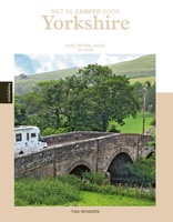 Campergids - Reisgids Met de camper door Yorkshire | Edicola
Yorkshire is een paradijs voor stoere wandelaars, natuurliefhebbers, honden, vogelaars, liefhebbers van ruïnes en van helemaal niet slaperige dorpjes en natuurlijk van Engelse pubs. Yorkshire heeft een spannende kust met …
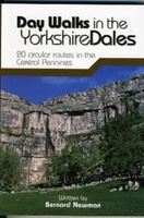 Wandelgids Day Walks in the Yorkshire Dales | Vertebrate Publishing
Day Walks in the Yorkshire Dales is the fourth title in Vertebrate Publishing's series of compact and portable hillwalking guidebooks. This book showcases 20 circular walks in the Yorkshire Dales …
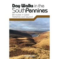 Wandelgids Day Walks in the South Pennines | Vertebrate Publishing
Day Walks in the South Pennines features 20 circular walks between 5 and 18 miles (8km and 29 km) in length, spread across West Yorkshire, Lancashire and Greater Manchester. Researched …
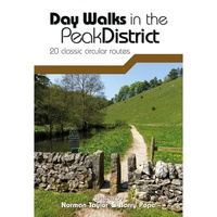 Wandelgids Day Walks in the Peak District | Vertebrate Publishing
Day Walks in the Peak District - 20 classic circular routes features 20 circular walks, between 8.25 and 12 miles (13 and 19.5 kilometres) in length, suitable for hillwalkers of …
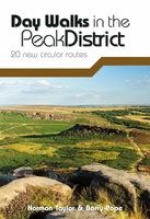 Wandelgids Day Walks in the Peak District | Vertebrate Publishing
Day Walks in the Peak District: 20 new circular routes features 20 circular walks, between 8 and 13 miles (14km and 21km) in length, suitable for hillwalkers of all abilities. …
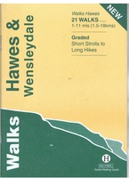 Wandelgids Hawes and Wensleydale | Hallewell Publications
Rewalked and updated in 2016, Walks Hawes & Wensleydale covers the Northern part of the Yorkshire Dales National Park - an area of rolling green hills, dramatic limestone features and …
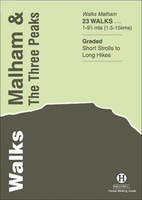 Wandelgids Malham and the Three Peaks | Hallewell Publications
Last rewalked and updated in 2021, Walks Malham & The Three Peaks covers part of The Yorkshire Dales National Park - an area of rolling green hills, dramatic limestone features …
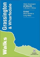 Wandelgids Grassington and Wharfedale | Hallewell Publications
The Yorkshire Dales National Park - an area of rolling green hills, dramatic limestone features and quaint villages - has five main dales (valleys). Walks Grassington & Wharfedale covers Wharfedale …
Laatste reviews

Heb de gids cadeau gedaan en die persoon was er heel blij mee ..
★★★★★ door J 21 november 2024 | Heeft dit artikel gekocht
De kaart van Kirgystan is prachtig, zeer gedetailleerd. Kan niet wachten tot de we echt op reis hmgaan die kant op.
★★★★★ door Marijke Eering 21 november 2024 | Heeft dit artikel gekocht
Super handig fiets boekje en mooi water bestendig. En handig om op de kaarten te kijken heel duidelijk beschrijving. Wij fietsen al jaren in Duitsland …
★★★★★ door Jenneke holterman 19 november 2024 | Heeft dit artikel gekocht
prima kaart levering en betaling allemaal vlot verlopen
★★★★★ door Marc Buts 19 november 2024 | Heeft dit artikel gekocht

