♦ Lake District Nationaal Park
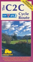 Fietskaart The C2C Cycle Route - Coast to Coast | Footprint maps
- Britains most popular loing distance route. - New clear mapping, based on OS data,ata a scale of 1:90 000 - Waterproof paper and compact size - Excellent value for …
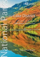 Wandelgids Lake District | Northern Eye Books
Klein, handzaam wandelgidsje met wandelingen in het Lake District. Met goede kaartjes van Ordnance Survey. One of two books so far in the new Top 10 Walks: UK National Parks …
★★★★★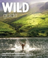 Reisgids Lake District and Yorkshire Dales | Wild Things Publishing
Imagine a summer spent swimming in mountain waterfalls, exploring lost ruins and caverns, and camping in ancient forests. In this explorer's compendium you will discover the most exciting and lesser-known …
★★★★★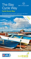 Fietskaart Cycle Map The Bay Cycle Way | Sustrans
Het is niet een heel overzichtelijke kaart, het zijn juist blokken van een deel van de route waarop deze staat ingetekend. Daarin juist wel heel goed met handige stedenkaarten en …
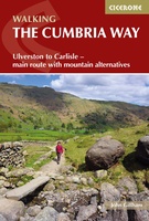 Wandelgids The Cumbria Way | Cicerone
A guidebook to the Cumbria Way, a 73-mile long distance path through the heart of the English Lake District from Ulverston to Carlisle. The route is largely low-level, and accessible …
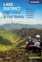 Wandelgids Lake District High Level and Fell Walks | Cicerone
A guidebook to 30 high level day walks in the Lake District, exploring some of the best mountains, ridgewalks, fells and summits within the national park. Mostly circular except for …
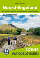 Wandelgids Noord-Engeland | Uitgeverij Elmar
De 60 mooiste wandelingen in Noord-Engeland, met het lake District, de Yorkshire Dales en Northumberland. Zoals gebruikelijk zijn er verschillende wandelingen voor beginnende en ervaren wandelaars en is er onmisbare …
★★★★★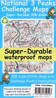 Wandelkaart National 3 Peaks Challenge Map | Discovery Walking Guides
Goede scheur- en watervaste wandelkaart. National 3 Peaks Challenge Maps. Ben Nevis, Scafell Pike and Snowdon at 20k scale. Waterproof, tearproof and 100% recyclable 820mm by 420mm double sided map …
 Reisgids Marco Polo ENG Lake District | MairDumont
Handige en overzichtelijke, kleine reisgids voor een eerste kennismaking met de vakantiebestemming. Globale uitklapkaart achterin, makkelijk binnenzakformaat. Marco Polo Pocket Guide Lake District: the Travel Guide with Insider Tips Explore …
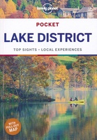 Reisgids Pocket Lake District | Lonely Planet
Pocket reisgidsen van Lonely Planet zijn een kleinere versie dan de 'echte' Planets. Vaak echter van bijzondere bestemmingen binnen een bepaald land waardoor er meer aandacht is en uitgebreidere tips …
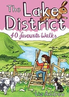 Wandelgids Lake District - 40 favourite walks | Pocket Mountains
These forty walks in England's glorious Lake District will take you to a range of lakes, peaks, rivers, tarns and waterfalls and introduce you to the haunts of many of …
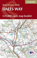 Wandelatlas The Dales Way Map Booklet | Cicerone
Heel handig bedacht van uitgever Cicerone: een boekje dat dienst doet als atlas met alle topografische kaarten die je nodig hebt voor het lopen van de Dales Way. Past goed …
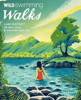 Reisgids Walks Lake District | Wild Things Publishing
The book takes you on magical journeys through Britain's most popular walking and swimming region, combining classic Lakes fell walking with adventurous swimming, collating the very best swims and hikes …
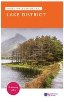 Wandelgids Lake District National Park | Ordnance Survey
Explore the spectacular scenery of the Lake District without scaling the high fells on these accessible walks that everybody can enjoy, covering the whole of the National Park. Wander the …
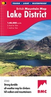 Wandelkaart Lake District | Harvey Maps
"The best Lake District map I have ever seen. The 1:40,000 scale provides clear, detailed information to one of the most popular hill walking areas in Britain." Sir Chris Bonington, …
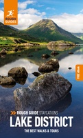 Reisgids Lake District | Rough Guides
Een kleinere versie in zakformaat van de grotere versies van de Rough Guides. Als altijd weer vol met goede informatie over cultuur en praktische zaken. Voorin een kaart van de …
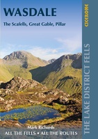 Wandelgids The Lake District Fells Wasdale | Cicerone
Uitstekende wandelgids voor dit uitdagende wandelgebied. This guide describes ascents of 25 Lake District fells that can be climbed from the valleys of Wasdale, Eskdale and Ennerdale. Quieter and …
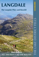 Wandelgids The Lake District Fells Langdale | Cicerone
Uitstekende wandelgids voor dit uitdagende wandelgebied. This guide describes ascents of 25 Lake District fells that can be climbed from Langdale and the Vale of Grasmere. Easily accessible from the …
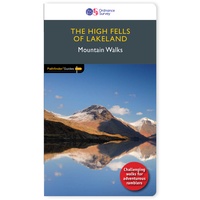 Wandelgids 071 Pathfinder Guides The High Fells of Lakeland | Ordnance Survey
Are you planning a holiday to the Lake District? Do you enjoy a hill-walking challenge with impressive mountain-top views? Inside Pathfinder (R) Guide to the High Fells of Lakeland are …
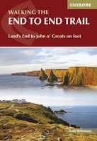 Wandelgids Walking The End to End Trail | Cicerone
Een droomroute voor velen: helemaal van het zuidelijkste puntje van Engeland naar het noordelijkste puntje van Schotland, zo'n slordige 1956 km door fabelachtig mooie afwisselende landschappen. Zeer gedetailleerd beschreven met …
Laatste reviews

De kaart van Kirgystan is prachtig, zeer gedetailleerd. Kan niet wachten tot de we echt op reis hmgaan die kant op.
★★★★★ door Marijke Eering 21 november 2024 | Heeft dit artikel gekocht
Super handig fiets boekje en mooi water bestendig. En handig om op de kaarten te kijken heel duidelijk beschrijving. Wij fietsen al jaren in Duitsland …
★★★★★ door Jenneke holterman 19 november 2024 | Heeft dit artikel gekocht
prima kaart levering en betaling allemaal vlot verlopen
★★★★★ door Marc Buts 19 november 2024 | Heeft dit artikel gekocht
Ik heb een uitklapbare kaart van Londen gekocht voor toeristische doeleinden. Snel geleverd en een product die volledig voldoet aan de behoeften. Chapeau!
★★★★★ door Cees Lindenberg 18 november 2024 | Heeft dit artikel gekocht

