Kaarten - Engeland
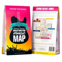 Wegenkaart - landkaart Great British Music Map | Strumpshaw, Tincleton & Giggleswick's Marvellous Maps
When it comes to music, Britain calls the tune on the world stage, playing second fiddle to nobody. This new and unique fold-out map celebrates Britain’s globe-straddling musical prowess, featuring …
 Spoorwegenkaart The British Isles by Train and Ferry | Cosmographics
Plan your journey and explore the British Isles by train and ferry. This attractive, detailed map shows how the rail network, along with ferries to the more isolated areas, allows …
 Wegenkaart - landkaart British Great British Literature Map | Ordnance Survey
 Wegenkaart - landkaart Great British Folklore & superstition map | Ordnance Survey
 Wegenkaart - landkaart Great British food & drink Map | Ordnance Survey
 Stadsplattegrond Londen miniguide | ExpressMap
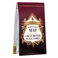 Wegenkaart - landkaart Great British place names map | Ordnance Survey
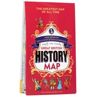 Wegenkaart - landkaart British Great British History Map | Ordnance Survey
Travel through time, uncover Britain’s history and heritage and find clues from the past to inspire your future adventures. Visit Britain’s Top 50 historical locations in one era-spanning road trip …
 Wegenkaart - landkaart Engeland East Coast - Engeland Oostkust | ITMB
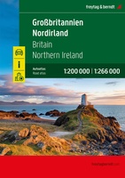 Wegenatlas Großbritannien - Nordirland - Groot Brittanië & Noord Ierland | A4 | Ringband | Freytag & Berndt
 Wegenkaart - landkaart Great Britain, Ireland - Groot-Brittannië / Ierland | ExpressMap
 Wegenkaart - landkaart Hadrian’s Wall / Noord Engeland | ITMB
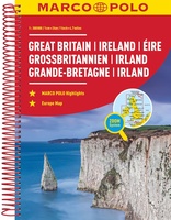 Wegenatlas Groot Brittannie & Ierland | Marco Polo
Goede wegenatlas met gedetailleerde kaarten. Alle wegen staan erop vermeldt plus onverharde wegen. Pittoreske weggetjes die de moeite waard zijn, zijn groen gearceerd. Alle toeristische informatie, ook campings zijn er …
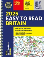 Wegenatlas Philip's Easy to Read Road Atlas of Britain 2025 | A4-Formaat | Ringband | Philip's Maps
"The detail you need at a size you can read". The latest 2025 Philip's Easy to Read Road Atlas of Britain from the best-selling Road Atlas range has over 350 …
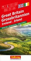 Wegenkaart - landkaart Grossbritannien, Irland - Groot Britannie, Ierland | Hallwag
Prima kaart van heel Groot Brittannie en Ierland , dubbelzijdig bedrukt met plaatsnamen index. Road map Great Britain / Ireland Road map with transit plans, location index, tourist information and …
Laatste reviews

Kan de huidige ontstuimige ontwikkelingen wereldwijd, nu ook geografisch plaatsen en daarmee beter volgen.
★★★★★ door Leo Janssen 20 december 2024 | Heeft dit artikel gekocht
We hadden Piëmonte al eens bezocht en voor onze komende reis werd ons door kennissen deze gids aanbevolen. Inderdaad is dit een heel goede gids. …
★★★★★ door DWKdB 19 december 2024 | Heeft dit artikel gekocht
Mijn bestellingen zijn altijd goed en worden altijd op tijd geleverd. Komen afspraken goed na. Erg tevreden.
★★★★★ door Ben Wegdam 19 december 2024 | Heeft dit artikel gekocht
Zeer gedetailleerde kaart van het zuidelijke deel van het douaniers pad
★★★★★ door Marian 18 december 2024 | Heeft dit artikel gekocht

