Engeland
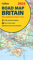 Wegenkaart - landkaart Road Map of Britain 2025 | Collins
Full-colour, double-sided road map of Great Britain at a scale of 8.7 miles to 1 inch. Northern England, Scotland and the Isle of Man are on one side with Southern …
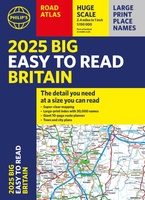 Wegenatlas Philip's Easy to Read Road Atlas of Britain 2025 | A3-Formaat | Paperback | Philip's Maps
With the detail you need at a size you can read, the latest edition of 2025 Philip's Big Easy to Read Road Atlas of Britain is super-clear, super-sized and bang …
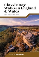 Wandelgids Day Walks Classic Day Walks in England & Wales | Vertebrate Publishing
Classic Day Walks in England & Wales features a selection of 20 of the best day-length hillwalking routes from Vertebrate Publishing's popular series of walking guidebooks. Edited by Jon Barton, …
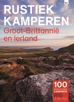 Campinggids Rustiek Kamperen in Groot-Brittannië en Ierland | Bert Loorbach Uitgeverij
De serie Rustiek Kamperen heeft in de afgelopen twintig jaar een grote schare liefhebbers van natuurlijk en kleinschalig kamperen opgebouwd. Met deze geheel nieuwe gids heb je de beste selectie …
★★★★★ Reisgids Caving, Canyoning, Coasteering | Bradt Travel Guides
You don't need to be ultra-fit or highly experienced in the outdoors to enjoy outdoor guru Patrick Kinsella's selection of 30 activities across Britain. 'A sense of adventure and an …
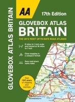 Wegenatlas AA Glovebox Atlas Britain | AA Publishing
This handy atlas fits in the glovebox of your car, perfect for quick referencing on the move. The clear mapping includes a range of essential motoring and useful touring information …
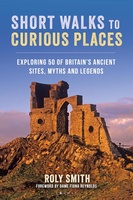 Wandelgids - Reisgids Short Walks to Curious Places Great Britain | Conway
Embark on an extraordinary journey through the British countryside, leading to mysterious sites, ancient wonders and legendary landscapes to uncover 50 of the most intriguing walks in Britain. Discover the …
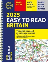 Wegenatlas Philip's Easy to Read Road Atlas of Britain 2025 | A4-Formaat | Ringband | Philip's Maps
"The detail you need at a size you can read". The latest 2025 Philip's Easy to Read Road Atlas of Britain from the best-selling Road Atlas range has over 350 …
 Reisverhaal Stiles & Turnstiles | Gijs van der Poel
 Wegenkaart - landkaart Grossbritannien, Irland - Groot Britannie, Ierland | Hallwag
Prima kaart van heel Groot Brittannie en Ierland , dubbelzijdig bedrukt met plaatsnamen index. Road map Great Britain / Ireland Road map with transit plans, location index, tourist information and …
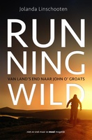 Reisverhaal Running Wild | Jolanda Linschooten
In Running Wild rent beroepsavonturier en ultraloopster Jolanda Linschooten van Land’s End naar John O’ Groats. Een extreme trailrun van 2000 kilometer door de ruigste gebieden van Engeland, Wales en …
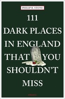 Reisgids 111 places in Dark Places in England That You Shouldn't Miss | Emons
Our significant dead and mortality moments are remembered at dark tourism sites, where complex issues of politics, history and ethics are exposed. This first-ever travel guide to dark tourism in …
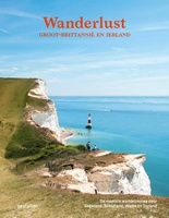 Reisinspiratieboek - Wandelgids Wanderlust - Groot-Brittannië en Ierland | Kosmos Uitgevers
 Reisgids Dominicus Het Engeland van Jane Austen | Gottmer
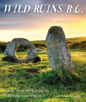 Reisgids Wild Ruins B.C.: The Explorer's Guide to Britain’s Ancient Sites | Wild Things Publishing
Discover Britain's extraordinary prehistory in this handbook to its wildest and most beautiful ancient remains. The sequel to the best-selling Wild Ruins, 18,000 copies sold. Wild ruins B.C. reveals the …
★★★★★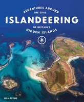 Reisgids Islandeering: Adventures Around Britain's Hidden Islands | Wild Things Publishing
Walk, scramble, cycle, wade or even swim around the outer edge of our wildest islands. Islandeering provides all the information you need to circumnavigate 50 amazing hidden islands off the …
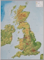 Reliëfkaart Great Britain & Ireland - Groot Brittannië & Ierland | GeoRelief
De uitgever van de kaart is de bekende Duitse uitgever GeoRelief. Deze topografische kaart van Groot Brittannië heeft een hoge kwaliteit met prachtige kleuren. De kaart bevat de namen van …
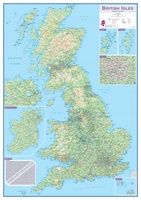 Wandkaart Engeland - British Isles roadplanning wall map, 84 X 119 cm | Maps International
Routeplanner map from Maps International's selection of British Isles maps. Routeplanning map details: British Isles routeplanning map shows the motorways, major roads and transport hubs such as airports and …
 Accommodatiegids Cool Places | Punk Publishing
A lavish full-colour guide to the very best places to stay in the UK: everything from boutique hotels and designer B&Bs to chic country cottages and luxury glampsites. Inspired by …
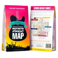 Wegenkaart - landkaart Great British Music Map | Strumpshaw, Tincleton & Giggleswick's Marvellous Maps
When it comes to music, Britain calls the tune on the world stage, playing second fiddle to nobody. This new and unique fold-out map celebrates Britain’s globe-straddling musical prowess, featuring …
Laatste reviews

Heb de gids cadeau gedaan en die persoon was er heel blij mee ..
★★★★★ door J 21 november 2024 | Heeft dit artikel gekocht
De kaart van Kirgystan is prachtig, zeer gedetailleerd. Kan niet wachten tot de we echt op reis hmgaan die kant op.
★★★★★ door Marijke Eering 21 november 2024 | Heeft dit artikel gekocht
Super handig fiets boekje en mooi water bestendig. En handig om op de kaarten te kijken heel duidelijk beschrijving. Wij fietsen al jaren in Duitsland …
★★★★★ door Jenneke holterman 19 november 2024 | Heeft dit artikel gekocht
prima kaart levering en betaling allemaal vlot verlopen
★★★★★ door Marc Buts 19 november 2024 | Heeft dit artikel gekocht

