Topografische kaarten - Europa
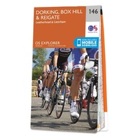 Wandelkaart - Topografische kaart 146 OS Explorer Map Dorking, Box Hill, Reigate | Ordnance Survey
Unearth the rich history and pastoral charms of the Surrey Hills, an Area of Outstanding Natural Beauty, and visit the historic market towns of Dorking, Leatherhead, Reigate and Caterham. Climb …
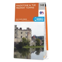 Wandelkaart - Topografische kaart 148 OS Explorer Map Maidstone, Medway Towns | Ordnance Survey
Walk a beautiful stretch of the North Downs Way offering spectacular views of the Kent Downs, Medway Valley and towards the Channel. Discover Kentish villages with their distinctive oast-house chimneys, …
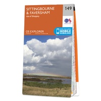 Wandelkaart - Topografische kaart 149 OS Explorer Map Sittingbourne, Faversham | Ordnance Survey
Explore the serene Isle of Sheppey and follow the Saxon Shore Way to discover the towns of Sittingbourne and Faversham. Further inland, the Kent Downs – an Area of Outstanding …
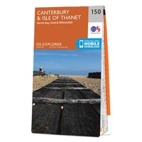 Wandelkaart - Topografische kaart 150 OS Explorer Map Canterbury, Isle of Thanet | Ordnance Survey
Discover Canterbury, city of saints and kings, ancient heartland of England at the foot of the Kent Downs and the head of the River Stour Valley with its vineyards. Follow …
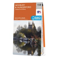 Wandelkaart - Topografische kaart 158 OS Explorer Map Newbury, Hungerford | Ordnance Survey
Enjoy everything rural Berkshire has to offer, from the iconic racecourse at Newbury to the beautiful Kennet & Avon Canal and Wilton Windmill, Wiltshire’s only working windmill. Base yourself in …
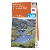 Wandelkaart - Topografische kaart 159 OS Explorer Map Reading, Wokingham & Pangbourne Map | Thames Path | Ordnance Survey
Experience everything Reading has to offer and discover the charms of Wokingham and of Pangbourne, an idyllic waterside town on the River Thames among the gorgeous North Wessex Downs. Follow …
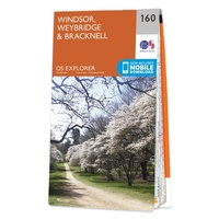 Wandelkaart - Topografische kaart 160 OS Explorer Map Windsor, Weybridge, Bracknell | Thames Path | Ordnance Survey
Follow the Thames Path through Windsor, home to the world’s largest and oldest inhabited castle, to Egham, Staines and Weybridge with its motoring and aviation museums. Walk in the footsteps …
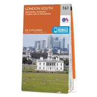 Wandelkaart - Topografische kaart 161 OS Explorer Map London South (greenw.m) | Ordnance Survey
Follow the Thames Path through the heart of London’s oldest and most historic areas. Discover Westminster, a square mile densely packed with some of the world’s most famous attractions: Buckingham …
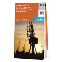 Wandelkaart - Topografische kaart 162 OS Explorer Map Greenwich, Gravesend | Ordnance Survey
Consider yourself at home as you explore London's East End, a byword for cheeky Cockneys, gruesome murders and political activism. See the Thames in a new light in Greenwich, where …
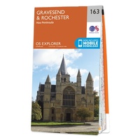 Wandelkaart - Topografische kaart 163 OS Explorer Map Gravesend, Rochester | Ordnance Survey
Immerse yourself in Gravesend with its maritime history, Charles Dickens links and even a Cold War bunker! Contrast the medieval magnificence of Rochester where the cathedra was founded in 604 …
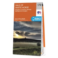 Wandelkaart - Topografische kaart 170 OS Explorer Map Abingdon, Wantage & Vale of White Horse | Ordnance Survey
Discover the Vale of White Horse, rolling hills dominated by the extraordinary, eponymous White Horse, an enigmatic Bronze Age chalk carving which can be seen for miles leaping across the …
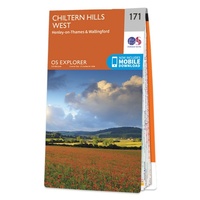 Wandelkaart - Topografische kaart 171 OS Explorer Map Chiltern Hills West | Ordnance Survey
Plunge into lovely countryside as you explore the west Chiltern Hills, an Area of Outstanding Natural Beauty on London’s doorstep. Roam hills clothed in ancient woods and chalk-fed streams, then …
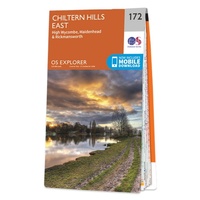 Wandelkaart - Topografische kaart 172 OS Explorer Map Chiltern Hills East | Ordnance Survey
Discover the east Chiltern Hills where they meet the Thames Valley, replete with lovely countryside, beautiful views and rich history. Delight in the unrivalled sailing reaches of Maidenhead; the Georgian …
★★★★★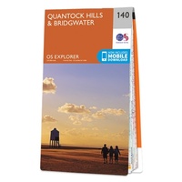 Wandelkaart - Topografische kaart 140 OS Explorer Map Quantock Hills, Bridgewater | Ordnance Survey
Met zijn 4cm voor 1 km (2 ½ cm voor 1 mijl) schaal, is de OS Explorer kaartenserie de ideale en meest gedetailleerde kaartenreeks voor mensen die graag outdoor-activiteiten zoals …
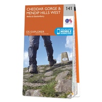 Wandelkaart - Topografische kaart 141 OS Explorer Map Cheddar Gorge, Mendip Hills West | Ordnance Survey
Met zijn 4cm voor 1 km (2 ½ cm voor 1 mijl) schaal, is de OS Explorer kaartenserie de ideale en meest gedetailleerde kaartenreeks voor mensen die graag outdoor-activiteiten zoals …
★★★★★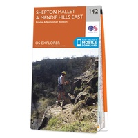 Wandelkaart - Topografische kaart 142 OS Explorer Map Shepton Mallet , Mendip Hills East | Ordnance Survey
Met zijn 4cm voor 1 km (2 ½ cm voor 1 mijl) schaal, is de OS Explorer kaartenserie de ideale en meest gedetailleerde kaartenreeks voor mensen die graag outdoor-activiteiten zoals …
 Wandelkaart - Topografische kaart 143 OS Explorer Map Warminster, Trowbridge | Ordnance Survey
Met zijn 4cm voor 1 km (2 ½ cm voor 1 mijl) schaal, is de OS Explorer kaartenserie de ideale en meest gedetailleerde kaartenreeks voor mensen die graag outdoor-activiteiten …
 Wandelkaart - Topografische kaart 153 OS Explorer Map Weston-super-Mare, Bleadon Hill | Ordnance Survey
Met zijn 4cm voor 1 km (2 ½ cm voor 1 mijl) schaal, is de OS Explorer kaartenserie de ideale en meest gedetailleerde kaartenreeks voor mensen die graag outdoor-activiteiten zoals …
 Wandelkaart - Topografische kaart 154 OS Explorer Map Bristol West, Portishead | Ordnance Survey
Met zijn 4cm voor 1 km (2 ½ cm voor 1 mijl) schaal, is de OS Explorer kaartenserie de ideale en meest gedetailleerde kaartenreeks voor mensen die graag outdoor-activiteiten zoals …
 Wandelkaart - Topografische kaart 155 OS Explorer Map Bristol, Bath | Ordnance Survey
Met zijn 4cm voor 1 km (2 ½ cm voor 1 mijl) schaal, is de OS Explorer kaartenserie de ideale en meest gedetailleerde kaartenreeks voor mensen die graag outdoor-activiteiten zoals …
★★★★★
Laatste reviews

Snelle levering goede kwaliteit
★★★★★ door SCG Bergmans 27 december 2024 | Heeft dit artikel gekocht
Compact en nuttige informatie
★★★★★ door Edwin van der Zijde 27 december 2024 | Heeft dit artikel gekocht
Prima naslagwerk ter voorbereiding van de tochten. Bovendien een snelle levering.
★★★★★ door Léon 27 december 2024 | Heeft dit artikel gekocht
Een heel duidelijke en voldoende gedetailleerde kaart. Ook actueel dus inclusief de veranderingen in het landschap door de vulkaanuitbarsting in 2021.
★★★★★ door Paul 27 december 2024 | Heeft dit artikel gekocht

