Wandelgidsen
Wandelgids kopen? Ontdek de beste wandelgidsen voor de mooiste wandelroutes in onze webshop!
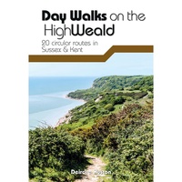 Wandelgids Day Walks on the High Weald | Vertebrate Publishing
Day Walks on the High Weald features 20 circular routes between 6.5 and 13.9 miles (10.5km and 22.4km) in length, spread across this Area of Outstanding Natural Beauty in the …
 Wandelgids Day Walks n the South Downs | Vertebrate Publishing
Day Walks on the South Downs features 20 circular routes, between 6 and 14 miles (9km and 22km) in length, suitable for hill walkers of all abilities. The routes are …
 Wandelgids Day Walks in Snowdonia | Vertebrate Publishing
Day Walks in Snowdonia showcases 20 circular routes, between 5.5 and 12 miles (9km and 19km) in length, suitable for hillwalkers of all abilities. Additionally included in a Bonus Section …
 Wandelgids Day Walks in the Brecon Beacons | Vertebrate Publishing
Day Walks in the Brecon Beacons features 20 circular routes between 6.8 and 16.5 miles (11km and 16.6km) in length, suitable for hill walkers of all abilities. Local author and …
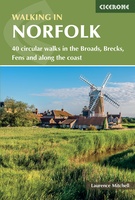 Wandelgids Walking in Norfolk | Cicerone
This guidebook describes 40 circular walks in Norfolk, including walks along the coast and walks exploring the Fens and the Broads. From 4 to 12 miles, these mostly flat walks …
 Wandelgids Walks West Sutherland | Hallewell Publications
This guide covers walks in the rugged, empty landscape of West Sutherland, in the far north-west of Scotland. Walks range from 1 mile to 14 miles (1.5-22.5km). Routes include: Point …
 Wandelgids Walks East Sutherland | Hallewell Publications
This guide covers the less mountainous, eastern side of the county of Sutherland: an area of small coastal villages and wide, empty moorland. Walks range from 0.5 miles to 11 …
 Wandelgids Walks Caithness | Hallewell Publications
This guide covers the old county of Caithness: and area of low-lying moorland and spectacular cliffs in the far north-east of the Scottish mainland. Walks range from 1 mile to …
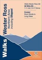 Wandelgids Walks Wester Ross Northern Area | Hallewell Publications
This guide features walks in the northern part of Wester Ross, from the Coigach peninsula in the north to the northern end of Loch Maree, including the villages of Ullapool …
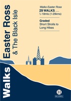 Wandelgids Walks Easter Ross and the Black Isle | Hallewell Publications
This guide includes coastal walks on the two large headlands north of Inverness and routes through the hills and broad straths to the west. Walks range from 0.5 miles to …
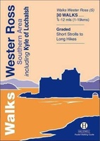 Wandelgids Walks Wester Ross Southern Area : Including Kyle of Lochalsh | Hallewell Publications
This guide features walks in the southern part of Wester Ross, in the area between Torridon in the north and Glenelg in the south. Walks range from 0.75 mile to …
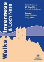 Wandelgids Walks Inverness and Loch Ness | Hallewell Publications
This guide includes walks near the city of Inverness, in the hills around Loch Ness and in the glens to the north. Walks range from 0.25 miles to 25 miles …
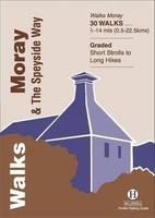 Wandelgids Walks Moray and the Speyside Way | Hallewell Publications
This guide covers the county of Moray in north-east Scotland – famous for its whisky distilleries. Includes coastal walks and hill routes in the northern Cairngorms. Walks range from 0.3 …
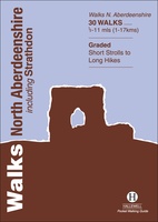 Wandelgids Walks North Aberdeenshire | Hallewell Publications
This guide covers hilly Strathdon and the farmland north of Aberdeen, plus the cliffs, beaches and fishing villages of the north-east coast. Walks range from 0.5 miles to 11 miles …
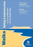 Wandelgids Walks Mallaig and Ardnamurchan | Hallewell Publications
This guide covers the vast and spectacular west of Lochaber, and includes moorland walks, hill climbs, beach walks as well as walks on the Small Isles and Knoydart. Walks range …
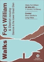 Wandelgids Walks Fort William and District | Hallewell Publications
Including Glencoe and the lower Great Glen, this guide covers the mountainous district of central Lochaber, including Britain’s highest peak – Ben Nevis – and the dramatic scenery around Glen …
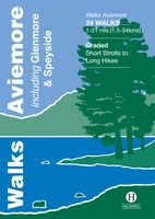 Wandelgids Walks Aviemore : Including Glenmore & Speyside | Hallewell Publications
This guide covers an upper stretch of the Spey Valley, from Grantown-on-Spey in the north to Newtonmore in the south. The main walking centres are Aviemore and Glenmore; the bulk …
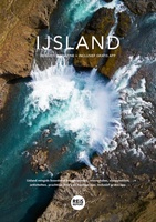 Reisgids - Reisverhaal - Wandelgids IJsland reisgids magazine 2024 + inclusief gratis app | Marlou Jacobs, Godfried van Loo★★★★★
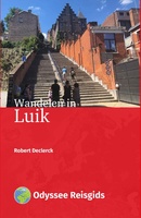 Wandelgids Wandelen in Luik | Odyssee Reisgidsen
 Wandelgids Wandelen in Lille | Odyssee Reisgidsen
Waar moet je op letten als je een goede wandelgids wilt kopen?
Wat moet er in een wandelgids staan?
De kaarten in een wandelgids
De gebruikersvriendelijkheid van een wandelgids
De taal van de wandelgids
Het formaat
Kies altijd de meest recente editie van een wandelgids
Laatste reviews

Prima koop
★★★★★ door Paul van Schelt 26 november 2024 | Heeft dit artikel gekocht
Het product wat ik van u heb ontvangen is prima !! maar voldoet niet geheel aan mijn verwachtingen want ik had een iets overzichtelijkere plattegrond …
★★★★★ door W. Breeschoten 26 november 2024 | Heeft dit artikel gekocht
De kaart NEPAL is netjes uitgevoerd en voldoet bijna aan mijn wensen : De plattegrond van KATHMANDU had ik liever iets uitvoeriger gezien en voorzien …
★★★★★ door Wout Breeschoten 26 november 2024 | Heeft dit artikel gekocht
Het is een mooi boekje, super handig. Beter dan de volwassen versie.
★★★★★ door Petra 26 november 2024 | Heeft dit artikel gekocht

