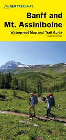
Wandelkaart 05 Banff National Park and Mt. Assiniboine | Gem Trek Maps (9781895526981)
- ISBN / CODE: 9781895526981
- Editie: 08-08-2020
- Druk: 9
- Aantal blz.: 1
- Schaal: 1:100000
- Uitgever: Gem Trek Maps
- Soort: Wandelkaart
- Taal: Engels
- Hoogte: 24.0 cm
- Breedte: 11.0 cm
- Gewicht: 95.0 g
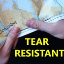
- Uitvoering: Scheur- en watervast
- Bindwijze: -
- Beoordeling: 4,0 ★★★★★ (1 review) Schrijf een review
-
€ 17,95
Leverbaar in 3 - 5 werkdagen in huis in Nederland Levertijd Belgie
Gratis verzending in Nederland vanaf €35,-
-
Overzicht Gem trek wandelkaarten British Columbia

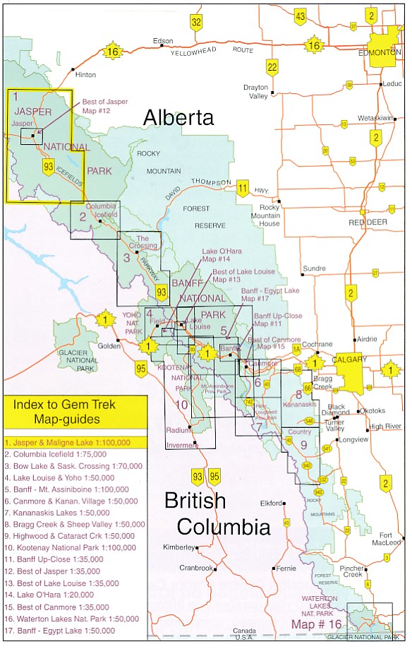
Producten op deze overzichtskaart:
Klik op een product om naar de pagina van dat product te gaan.
- Wandelkaart 01 Jasper National Park & Maligne Lake | Gem Trek Maps
- Wandelkaart 02 Columbia Icefield | Gem Trek Maps
- Wandelkaart 04 Lake Louise & Yoho | Gem Trek Maps
- Wandelkaart 05 Banff National Park and Mt. Assiniboine | Gem Trek Maps
- Wandelkaart 06 Canmore & Kananaskis Village | Gem Trek Maps
- Wandelkaart 08 Bragg Creek and Sheep Valley | Gem Trek Maps
- Wandelkaart 10 Kootenay National Park | Gem Trek Maps
- Wandelkaart 11 Banff Up-Close | Gem Trek Maps
- Wandelkaart 12 Best of Jasper | Gem Trek Maps
- Wandelkaart 13 Best of Lake Louise Map and Guide | Gem Trek Maps
- Wandelkaart 14 Lake O'Hara | Gem Trek Maps
- Wandelkaart 16 Waterton Lakes NP | Gem Trek Maps
- Wandelkaart Banff - Egypt Lake | Gem Trek Maps
Overzichtskaarten
Beschrijving
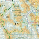
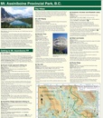
This map covers the most popular hiking and mountain biking terrain in Banff National Park, from Lake Louise in the north to the south end of Banff National Park, plus all of Mt. Assiniboine Provincial Park.
Reviews
Duidelijke kaart maar weergegeven gebied is beperkt. De begrenzing uit de beschrijving is lastig te interpreteren.
★★★★★ door thomas 23 april 2013Vond u dit een nuttige review? (login om te beoordelen)
Schrijf een review
Graag horen wij wat u van dit artikel vindt. Vindt u het goed, leuk, mooi, slecht, lelijk, onbruikbaar of erg handig: schrijf gerust alles op! Het is niet alleen leuk om te doen maar u informeert andere klanten er ook nog mee!

