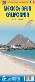
Wegenkaart - landkaart Baja California - Mexico | ITMB (9781553415435)
- ISBN / CODE: 9781553415435
- Editie: 23-02-2010
- Druk: 7
- Aantal blz.: 1
- Schaal: 1:650000
- Uitgever: ITMB
- Soort: Wegenkaart
- Taal: Engels
- Hoogte: 25.0 cm
- Breedte: 10.0 cm
- Gewicht: 51.0 g
- Uitvoering: Scheur- en watervast
- Schrijf als eerste een review
-
€ 13,95
Op voorraad. Voor 17.00 uur op werkdagen besteld, binnen 1 tot 2 werkdagen in huis in Nederland Levertijd Belgie
Gratis verzending in Nederland vanaf €35,-
-
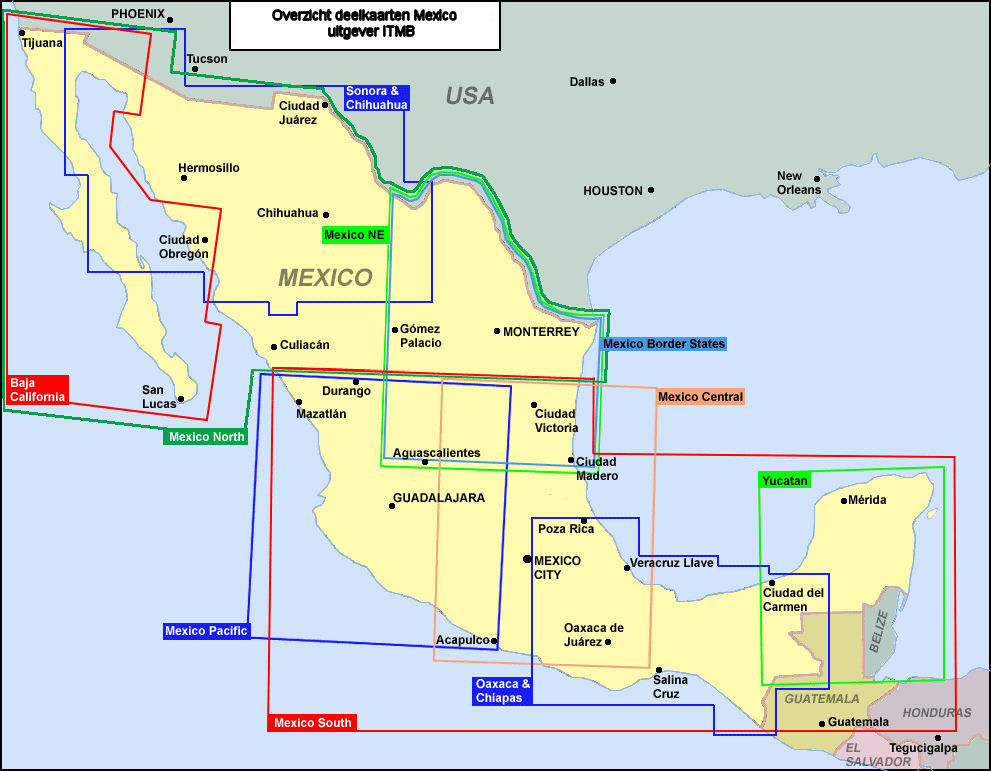
Overzicht ITMB deelkaarten Mexico


Producten op deze overzichtskaart:
Klik op een product om naar de pagina van dat product te gaan.
- Wegenkaart - landkaart Baja California - Mexico | ITMB
- Wegenkaart - landkaart Mexico Sonora & Chihuahua | ITMB
- Wegenkaart - landkaart Mexico South | ITMB
- Wegenkaart - landkaart Mexico Border States Northeast Coahuila, Nuevo Leon, Tamaulipas | ITMB
- Wegenkaart - landkaart Mexico Central & Mexico City | ITMB
- Wegenkaart - landkaart Mexico North East | ITMB
- Wegenkaart - landkaart Mexico Oaxaca & Chiapas & Guerrero | ITMB
- Wegenkaart - landkaart Mexico Pacific Coast en Guadalajara | ITMB
- Wegenkaart - landkaart Mexico Yucatan Peninsula | ITMB
Overzichtskaarten
Beschrijving
Een degelijke kaart met aanduidingen van o.a. nationale parken, vliegveld, benzinepomp, dirt-roads. Als overzichtskaart goed te gebruiken.
The long peninsula on the north-western edge of Mexico (the ‘lost’ province of Alta California being the temporary possession of that country to the north) is a favourite travel destination for visitors from all over the world, whether they be day-trippers crossing into Tijuana, RVers headed for the Gulf, 4x4ers wanting to explore the dreaded Viscaino Desert, or intrepid explorers wanting to experience a part of Mexico that has always prided itself as being a little ‘different’. I remember the first time Kevin Healey and I visited the peninsula in 1988. He couldn’t handle the spicy food, and we had to beat a retreat to the north after three days, but he produced the definitive Baja map two months later. This digitized, double-sided map is based on his efforts, but has been updated several times since his death, and Lan and I love going to Baja to research updating material. We hardly ever find anything, but we have a wonderful time doing it! Baja is the ideal ‘get-away-from-it-all atmosphere – very little traffic, gorgeous beaches, historic towns and mission sites, great food, fishing, and snorkeling – and a map to die for. Double-sided, waterproof.
Legend Includes:
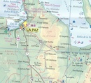
Roads by classification, international and domestic airports and airstrips, border crossings, gas/filling stations, sea ports, hotels, camping sites, archaeological sites, post offices, libraries, waterfalls, beaches, cave paintings and petroglyphs, wells or springs, volcanos, whale watching, mines and quarries, surfing, kayaking, museums, scenic viewpoints, points of interests, lighthouses, swamps, and other information
Reviews
Geen reviews gevonden voor dit product.
Schrijf een review
Graag horen wij wat u van dit artikel vindt. Vindt u het goed, leuk, mooi, slecht, lelijk, onbruikbaar of erg handig: schrijf gerust alles op! Het is niet alleen leuk om te doen maar u informeert andere klanten er ook nog mee!


