Castilla-La Mancha
 Wegenkaart - landkaart Mapa Provincial Toledo | CNIG - Instituto Geográfico Nacional
Deze kaart is zuiver gericht op de provincie als in de titel. Gebieden naast de kaart worden zonder kleur weergegeven. Ideale kaart als het gaat om het onderscheid in topografische …
 Wegenkaart - landkaart Mapa Provincial Albacete | CNIG - Instituto Geográfico Nacional
Deze kaart is zuiver gericht op de provincie als in de titel. Gebieden naast de kaart worden zonder kleur weergegeven. Ideale kaart als het gaat om het onderscheid in topografische …
 Wegenkaart - landkaart Mapa Provincial Ciudad Real | CNIG - Instituto Geográfico Nacional
Deze kaart is zuiver gericht op de provincie als in de titel. Gebieden naast de kaart worden zonder kleur weergegeven. Ideale kaart als het gaat om het onderscheid in topografische …
 Wegenkaart - landkaart Mapa Provincial Cuenca | CNIG - Instituto Geográfico Nacional
Deze kaart is zuiver gericht op de provincie als in de titel. Gebieden naast de kaart worden zonder kleur weergegeven. Ideale kaart als het gaat om het onderscheid in topografische …
★★★★★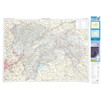 Wegenkaart - landkaart Mapa Provincial Guadalajara | CNIG - Instituto Geográfico Nacional
Deze kaart is zuiver gericht op de provincie als in de titel. Gebieden naast de kaart worden zonder kleur weergegeven. Ideale kaart als het gaat om het onderscheid in topografische …
★★★★★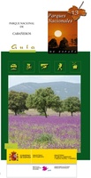 Wandelkaart 13 Parques Nacionales Cabaneros Nationaal Park | CNIG - Instituto Geográfico Nacional
Topografische kaart 1:25.000 met ingetekende wandelroutes en begeleidend gidsje (spaanstalig) van het Cabaneros National Park in de provincies Ciudad Real en Toledo Parque Nacional de Cabañeros - El Medio natural …
 Topografische kaart 605 MT50 Aranjuez | CNIG - Instituto Geográfico Nacional
 Topografische kaart 604 MT50 Yuncos | CNIG - Instituto Geográfico Nacional
 Wegenkaart - landkaart Madrid & Castile/La Mancha | ITMB
ITMB is pleased to introduce this new map, using our own artwork, for Madrid, covering essentially all the area within the circular ring road motorway. All the streets are named …
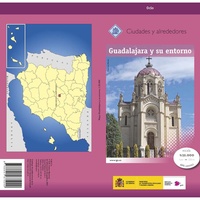 Topografische kaart Guadalajara y su entorno especial | CNIG - Instituto Geográfico Nacional
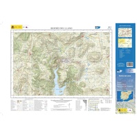 Topografische kaart 461-I Riofrío del Llano | CNIG - Instituto Geográfico Nacional1
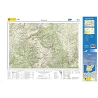 Topografische kaart 461-III Baides | CNIG - Instituto Geográfico Nacional1
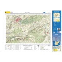 Topografische kaart 461-IV Sigüenza | CNIG - Instituto Geográfico Nacional1
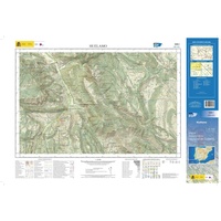 Topografische kaart 588-I Huélamo | CNIG - Instituto Geográfico Nacional1
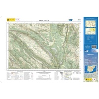 Topografische kaart 588-II Moscardón | CNIG - Instituto Geográfico Nacional1
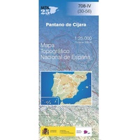 Topografische kaart 708-IV Pantano de Cíjara | CNIG - Instituto Geográfico Nacional1
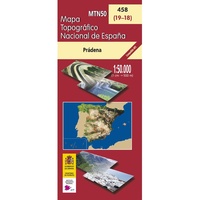 Topografische kaart 458 MT50 Prádena | CNIG - Instituto Geográfico Nacional
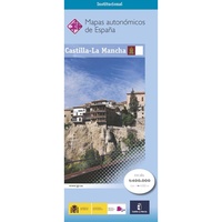 Wegenkaart - landkaart Castilla-La Mancha | CNIG - Instituto Geográfico Nacional
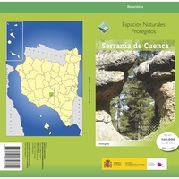 Wandelkaart Parques Nacionales Serranía de Cuenca Parque Natural | CNIG - Instituto Geográfico Nacional
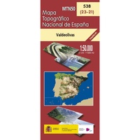 Topografische kaart 538 MT50 Valdeolivas | CNIG - Instituto Geográfico Nacional
Laatste reviews

Kan de huidige ontstuimige ontwikkelingen wereldwijd, nu ook geografisch plaatsen en daarmee beter volgen.
★★★★★ door Leo Janssen 20 december 2024 | Heeft dit artikel gekocht
We hadden Piëmonte al eens bezocht en voor onze komende reis werd ons door kennissen deze gids aanbevolen. Inderdaad is dit een heel goede gids. …
★★★★★ door DWKdB 19 december 2024 | Heeft dit artikel gekocht
Mijn bestellingen zijn altijd goed en worden altijd op tijd geleverd. Komen afspraken goed na. Erg tevreden.
★★★★★ door Ben Wegdam 19 december 2024 | Heeft dit artikel gekocht
Zeer gedetailleerde kaart van het zuidelijke deel van het douaniers pad
★★★★★ door Marian 18 december 2024 | Heeft dit artikel gekocht

