Wandkaarten van landen - Ierland
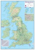
 Wandkaart Engeland - British Isles roadplanning wall map, 84 X 119 cm | Maps International
Routeplanner map from Maps International's selection of British Isles maps. Routeplanning map details: British Isles routeplanning map shows the motorways, major roads and transport hubs such as airports and …
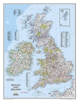
 Wandkaart 02022 Britain and Ireland - Groot Brittannië en Ierland, 60 x 76 cm | National Geographic
This classic-style map of England and Wales shows political boundaries, major highways and roads, cities and towns, airports, and other geographic details. Thousands of place-names and exact borders are carefully …
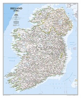
 Wandkaart 20427 Ireland – Ierland, 76 x 91 cm | National Geographic
National Geographic Maps' new Ireland wall map is one of the most authoritative maps yet published of the Emerald Isle. Of the nearly 1,000 place-names shown on this map, all …
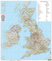
 Wandkaart Groot-Brittannië - Ierland | 99 x 116 cm | Freytag & Berndt
Laatste reviews

Perfecte kwaliteit, had die heel graag in het nederlands kunnen bestellen
★★★★★ door Caty Eeckhout 20 januari 2025 | Heeft dit artikel gekocht
Helaas een aantal wandelroutes niet meer beloopbaar, de routes zijn niet meer te vinden. Ook zijn er routes aangepast,afstanden kloppen niet meer. Beter online opzoeken …
★★★★★ door Rieneke 20 januari 2025 | Heeft dit artikel gekocht
Geeft onze kinderen een realistische blik op de wereld. Met reliëf. En als lamp aan zie je de landsgrenzen. Mooie kwaliteit. Verrassend snelle verzending rondom …
★★★★★ door Jojanneke 20 januari 2025 | Heeft dit artikel gekocht
Zoals altijd biedt ook deze Lonely Planet veel nuttige en gedetailleerde informatie over activiteiten buiten de toeristische standaardbestemmingen. Ook de praktische tips (vervoer, geld) bleken …
★★★★★ door Wessel 19 januari 2025 | Heeft dit artikel gekocht

