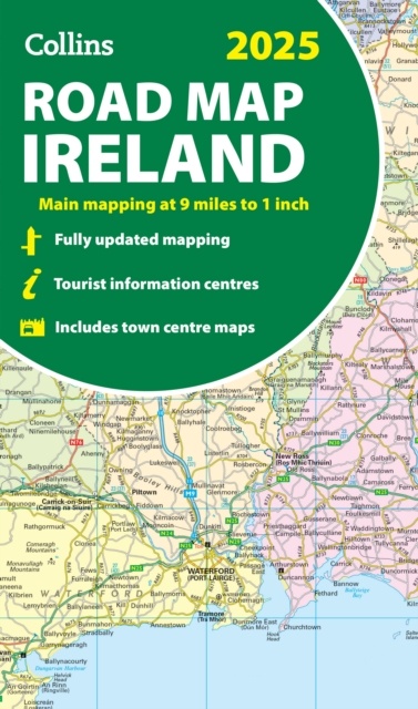
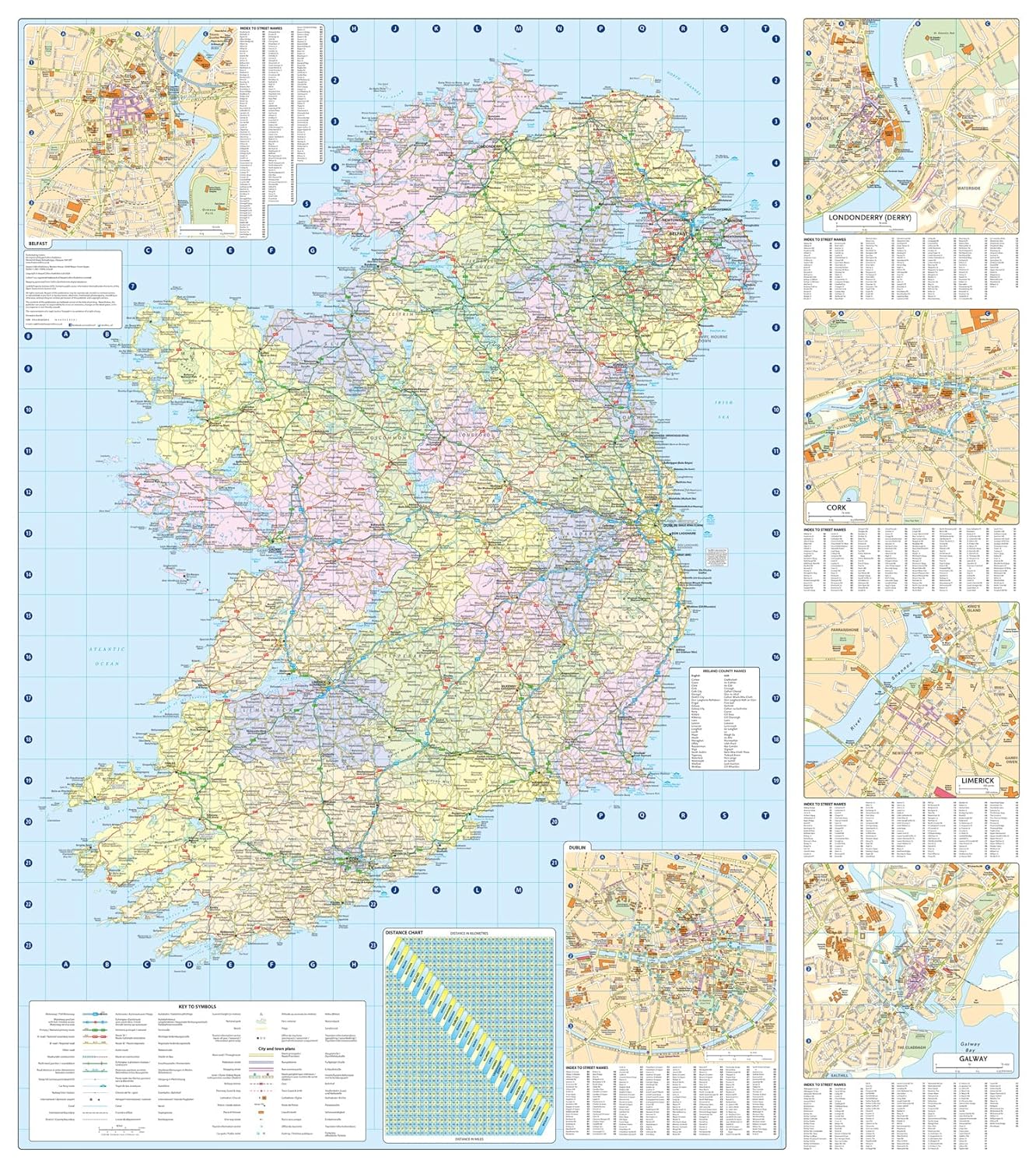
Wegenkaart - landkaart Ireland - Ierland road map 2025 | Collins (9780008653002)
- ISBN / CODE: 9780008653002
- Editie: 2024
- Schaal: 1:570000
- Uitgever: Collins
- Soort: Wegenkaart
- Taal: Engels
- Bindwijze: -
- Uitvoering: Papier
- Schrijf als eerste een review
-
€ 11,50
Op voorraad. Voor 17.00 uur op werkdagen besteld, morgen in huis in Nederland Levertijd Belgie
Gratis verzending in Nederland vanaf €35,-
Beschrijving
Reviews
Geen reviews gevonden voor dit product.
Schrijf een review
Graag horen wij wat u van dit artikel vindt. Vindt u het goed, leuk, mooi, slecht, lelijk, onbruikbaar of erg handig: schrijf gerust alles op! Het is niet alleen leuk om te doen maar u informeert andere klanten er ook nog mee!
Ook interessant voor europa/ierland
-

Reisgids Road Trips Galway & the Wes
€ 11,95Reisgidsen Ierland -

Reliëfkaart Ireland met voelbaar 3D
€ 18,95Reliëfkaarten Ierland -

Reisverhaal Round Ireland with a Fri
€ 14,50Reisverhalen Ierland -

Wegenkaart - landkaart Ierland | Rei
€ 13,95Wegenkaarten Ierland -

Wandelgids Ireland's Best Walks | Th
€ 22,50Wandelgidsen Ierland