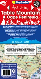
Wegenkaart - landkaart 8 Table Mountain and Cape Peninsula - Kaapstad | MapStudio (9781770269927)
Activities Map Road Map
- ISBN / CODE: 9781770269927
- Editie: 25-03-2019
- Druk: 4
- Aantal blz.: 1
- Schaal: 1:55000
- Uitgever: MapStudio
- Soort: Wegenkaart
- Taal: Engels
- Hoogte: 25.0 cm
- Breedte: 13.0 cm
- Gewicht: 86.0 g
- Uitvoering: Papier
- Bindwijze: -
- Beoordeling: 5,0 ★★★★★ (1 review) Schrijf een review
-
€ 16,95
Dit artikel is (tijdelijk) niet leverbaar
-
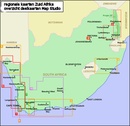
Overzichtskaart van deelkaarten Zuid Afrika
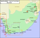
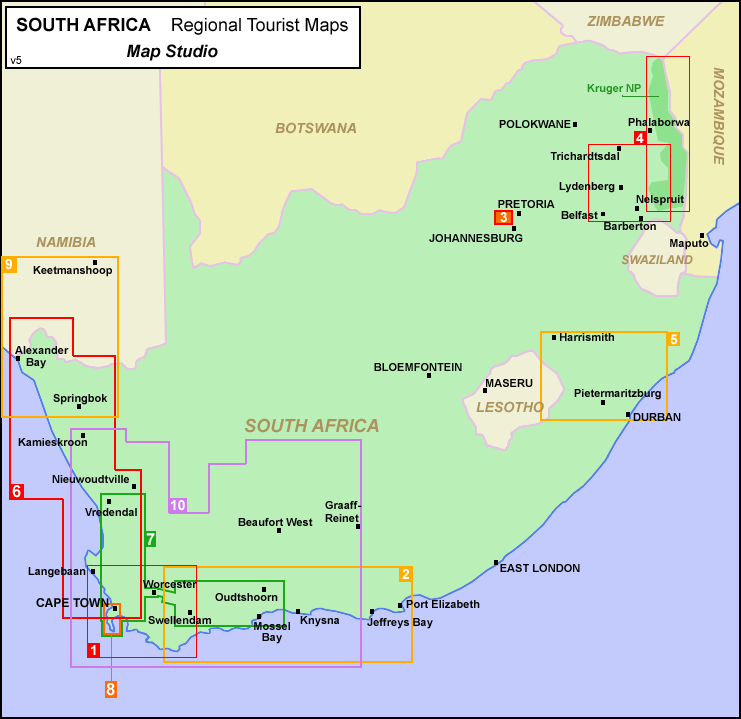
Producten op deze overzichtskaart:
Klik op een product om naar de pagina van dat product te gaan.
- Wegenkaart - landkaart 01 Kaapstad - Cape Town and Surrounding Attractions | MapStudio
- Wegenkaart - landkaart 02 Garden route & Route 62 Road Map | MapStudio
- Wegenkaart - landkaart 04 Mpumalanga, Kruger National Park & Panorama Route | MapStudio
- Wegenkaart - landkaart 10 Western Cape Road Map | MapStudio
- Wegenkaart - landkaart 5 Kwazulu - Natal | MapStudio
- Wegenkaart - landkaart 7 Winelands of the western cape | MapStudio
- Wegenkaart - landkaart 8 Table Mountain and Cape Peninsula - Kaapstad | MapStudio
Overzichtskaarten
Beschrijving
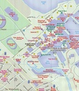
Wegenkaart van een deel van Zuid Afrika met inzetten van de meest belangrijke gebieden. Het overzicht is soms misschien een beetje onduidelijk. maar de details in de inzetten en delen van de kaart zijn prima en voldoen goed voor het rondrijden met een eigen auto.
Reviews
Ik ben tevreden dat de juiste artikelen tijdig geleverd werden.
★★★★★ door Frans Quik 27 januari 2014Vond u dit een nuttige review? (login om te beoordelen)
Schrijf een review
Graag horen wij wat u van dit artikel vindt. Vindt u het goed, leuk, mooi, slecht, lelijk, onbruikbaar of erg handig: schrijf gerust alles op! Het is niet alleen leuk om te doen maar u informeert andere klanten er ook nog mee!

